

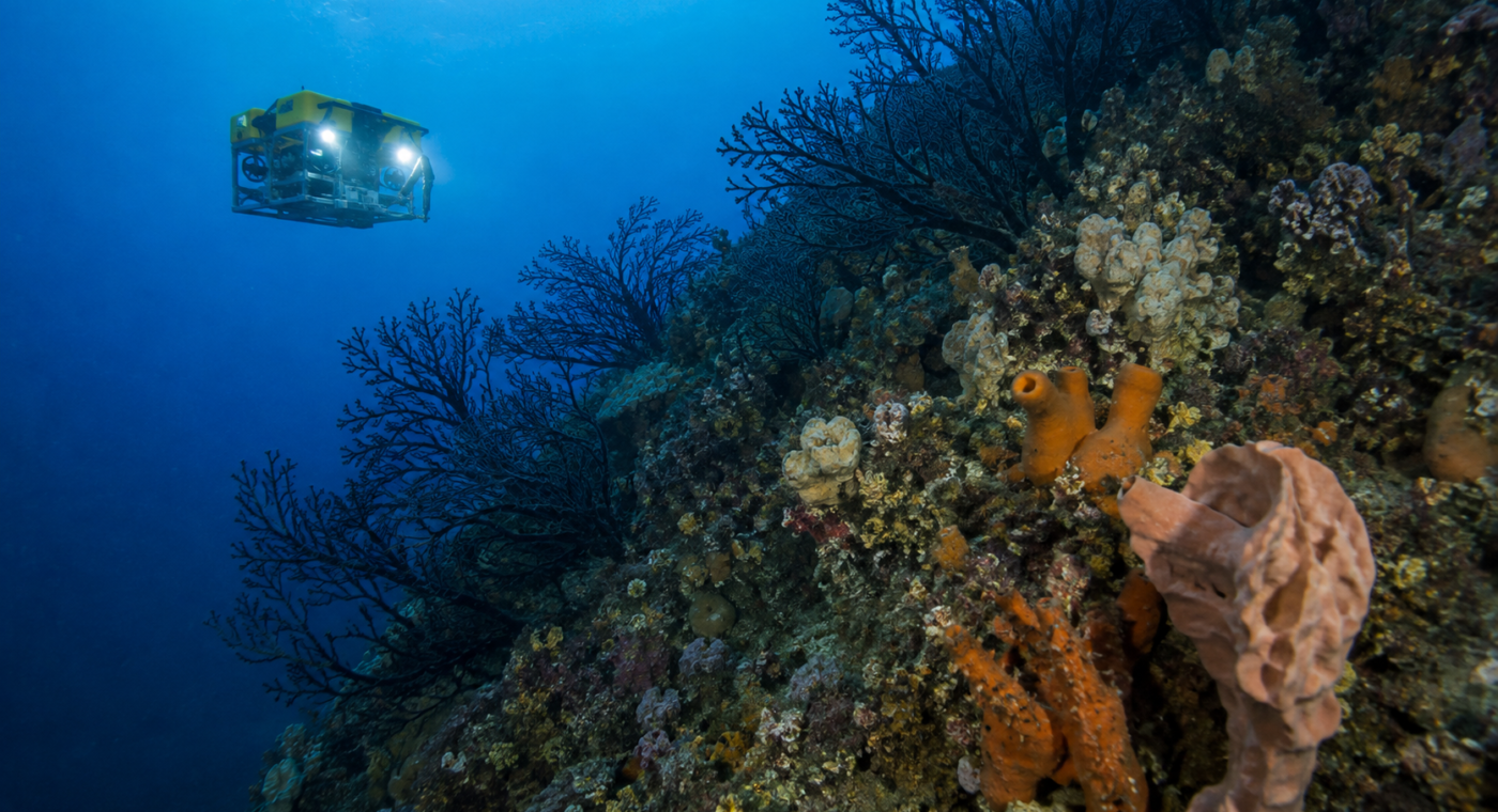
Drawing a marine protected area on a map is only the beginning. New 3D models of deep reefs in New Zealand’s Hauraki Gulf show why managers need a measurable baseline from the start.
The remotely operated vehicle survey documented sponges, black corals and signs of older fishing impacts. Repeated models can reveal whether protected reefs recover differently from comparable unprotected areas.
Governments should budget monitoring alongside enforcement whenever they announce new protections.