

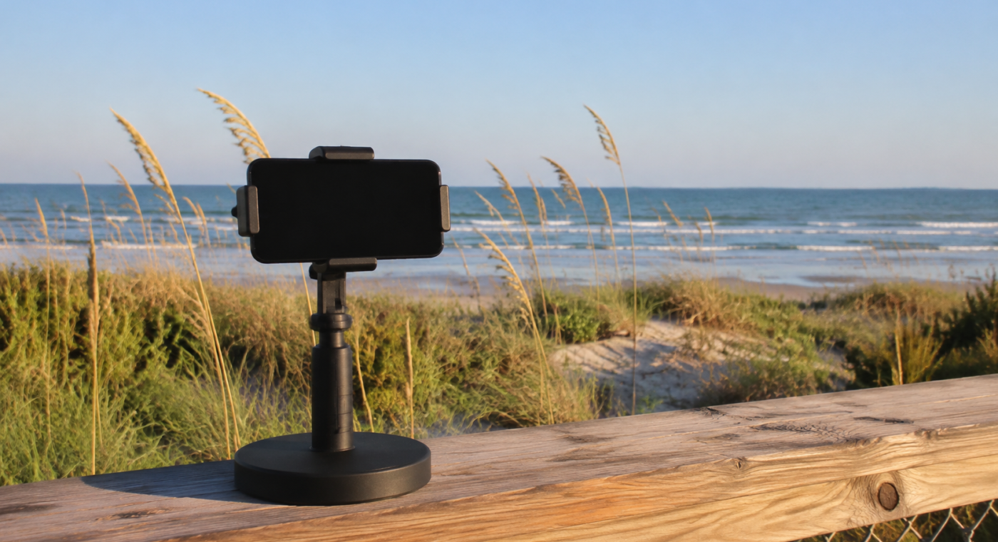
A fixed photo station at Malaquite Beach asks visitors to do something simple with long-term scientific value: place a phone in the same position and photograph the same view.
Over time, those repeated images can reveal changes that are hard to recognize from a single visit. At Padre Island National Seashore, the frame captures dune vegetation, dune shape and nearshore water conditions. Sea oats and other hardy plants trap sand, stabilize dunes and provide habitat, making vegetation patterns more than a scenic detail.
Repeat photography does not replace field measurements, but it can create a dense visual timeline at relatively low cost. It also makes monitoring tangible to visitors, who can see how hundreds of individual contributions become a record larger than any one photograph.
The station’s scientific value will depend on consistent framing, image quality and careful interpretation. Its public value is already clear: it turns an overlook into an invitation to observe a living coastline.
Source: National Park Service